
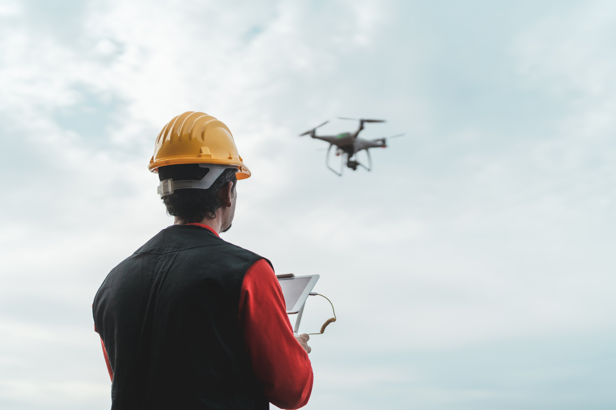
Our Services
We use professional drone technology to deliver aerial photography, 4K video, and inspection imagery that gives contractors, agents, and property owners a clear advantage with a level of detail and perspective that ground-level methods simply can't match. Every job is flown by an FAA Part 107 certified pilot, fully insured, and delivered within 48 hours.
Construction Capture

Roof Inspections

Real Estate Aerials

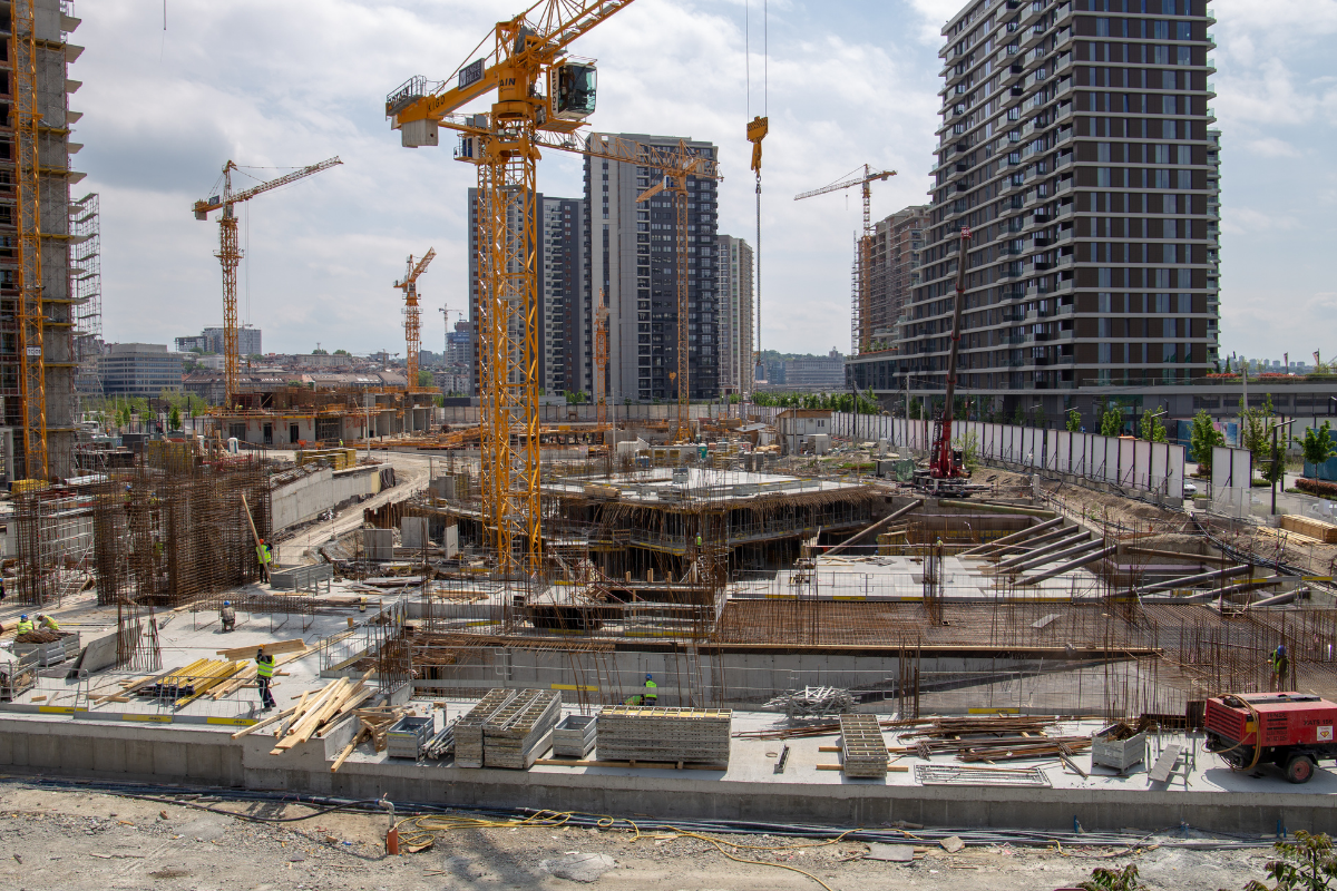
Construction Capture
We fly job sites and deliver high-resolution aerial photos, 4K video, and orthomosaic maps that show the full site from above. Contractors and developers get a clear, accurate view of the entire project — conditions, layout, and work in place — without ever leaving the ground.
Aerial imagery gives project teams an objective, verifiable record of what's happening on site at any stage of the build. Stakeholders stay informed without unnecessary site visits, disputes get resolved faster with visual evidence, and contractors have documentation that supports payment applications and protects them if questions arise down the line.
-
General contractors, developers, and project managers who need accurate visibility on an active build. Whether it's a single home or a large commercial project, aerial capture gives you and your stakeholders a clear picture of exactly where things stand.
-
A drone covers an entire job site in minutes from above — capturing the full picture at angles and elevations no ground-level camera can reach. You get an objective, timestamped record of exactly what's been built, where, and when. No disruption to the crew, no time wasted on the ground.
-
High-resolution aerial photos, 4K site video, and 2D orthomosaic maps — all delivered via cloud link. Premium packages include a timestamped progress report PDF and a project completion timelapse for clients on retainer.
-
Do I need to be on site when you fly? No. We coordinate access in advance and handle the flight independently. Deliverables are sent via cloud link so you can review from anywhere.
Can I book a one-time flight or does it have to be ongoing? Both. We offer single visits as well as retainer contracts with weekly, bi-weekly, or monthly schedules — with discounts for ongoing commitments.
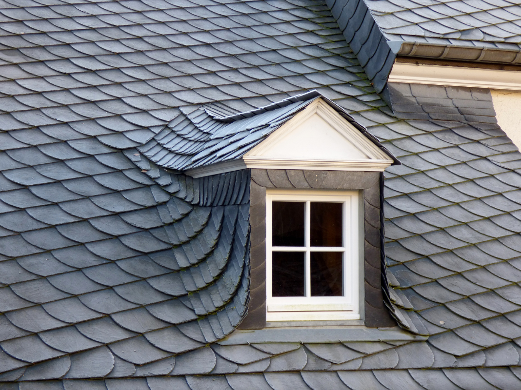
Roof Inspections
We capture high-resolution aerial imagery and 4K video of every surface of a roof from above. Property owners, contractors, and adjusters get a complete, detailed visual of the roof's condition — faster, safer, and more thorough than a traditional inspection.
No ladders, no scaffolding, no risk. A drone covers an entire roof in minutes, reaching angles a physical inspector simply can't access. Property owners get clear documentation they can use for insurance claims or contractor estimates, and roofing contractors can assess more properties in a day — with imagery that builds trust and eliminates guesswork.
-
Homeowners, property managers, roofing contractors, and insurance adjusters who need a fast, accurate assessment of a roof's condition. Especially useful after storms, before a sale, or when access to the roof is difficult or unsafe.
-
Traditional inspections require ladders, harnesses, and significant setup — and still miss hard-to-reach areas. A drone reaches every surface safely from the ground in a fraction of the time. The imagery is more detailed, more complete, and doesn't put anyone at risk.
-
High-resolution inspection photos and 4K video covering every angle of the roof, delivered via cloud link within 48 hours. Standard packages include a written findings summary. Premium adds a full annotated PDF report and a 2D orthomosaic roof map.
-
Can this be used for an insurance claim? Yes. Our high-resolution imagery and written reports provide the kind of clear visual documentation that insurance adjusters need to process claims accurately and efficiently.
Do you inspect commercial roofs or just residential? Both. Residential inspections follow standard package pricing. Commercial properties and multi-structure sites are quoted individually based on scope.
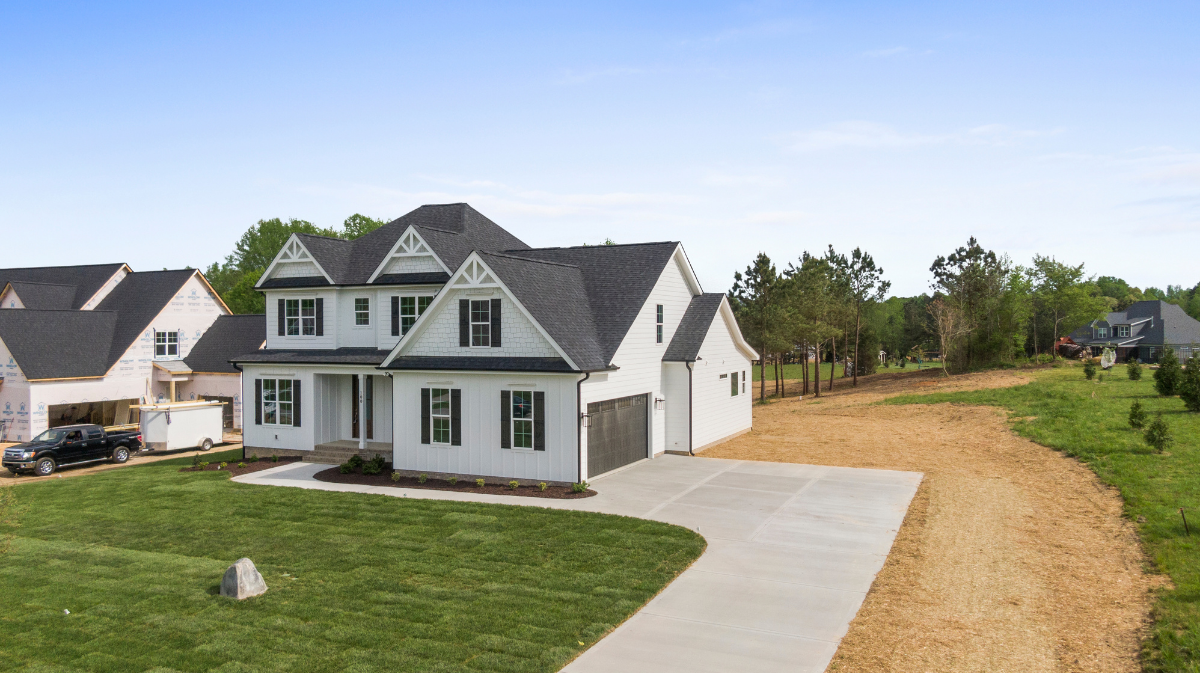
Real Estate Aerials
From the surrounding neighborhood down to the interior spaces, we capture a property the way buyers actually want to see it — in the air and inside. High-resolution aerial photos, 4K cinematic video, and interior fly-throughs that show scale, context, layout, and detail that traditional photography simply can't deliver. Everything delivered within 48 hours.
Listings with aerial imagery sell 68% faster than those with standard photos alone. Buyers get a complete picture of the property before ever stepping inside — which means more qualified showings, less time on market, and a stronger position for sellers and agents alike.
-
Real estate agents, property developers, and sellers who want their listing to stand out. From residential homes and luxury properties to commercial buildings and vacant land — if it needs to sell, aerial content gives it the edge.
-
Ground-level photography shows walls and rooms. Aerial photography shows the full story — lot size, rooflines, surrounding neighborhood, and the context buyers use to make decisions. Add an interior fly-through and buyers have everything they need to make a serious move before they ever schedule a showing.
-
High-resolution aerial photo packages, 4K cinematic video, and cinematic flythroughs — delivered via cloud link within 48 hours. Interior flythrough available as an add-on across all packages. Rush delivery available on Premium.
-
Do you only shoot the exterior? No. In addition to full aerial coverage, we offer interior flythroughs as an add-on to any package — giving buyers a complete view of the property from the air and inside.
How far in advance do I need to book? Most shoots can be scheduled within a few days. Rush delivery within 48 hours is available on Premium packages. Reach out and we'll confirm availability for your timeline.


Active Project
Site Example
Progress Tracking
Active Project Site Example Progress Tracking
SFPUC Water Department Campus
Client: Clark Construction | Public Infrastructure
Project Overview
The SFPUC Water Department Campus at 2000 Marin Street is a $428 million state-of-the-art infrastructure project designed to withstand a magnitude 7.8 earthquake. This facility plays a critical role in San Francisco’s water system, managing over 1,250 miles of water mains while generating 900 kilowatts of clean, renewable energy through integrated solar arrays.
Our Role
We provide ongoing drone-based construction progress documentation, capturing consistent aerial visuals that support site monitoring, coordination, and reporting throughout the build.
Why It Matters
On complex, mission-critical infrastructure projects, accurate and repeatable documentation is essential. Drone-based progress tracking provides clear visibility without disrupting active construction operations.
Ready to get started?
If you're interested in working with us, complete the form with a few details about your project. We'll review your message and get back to you within 24 hours.